Spatial planning and systems
Urban and regional planning
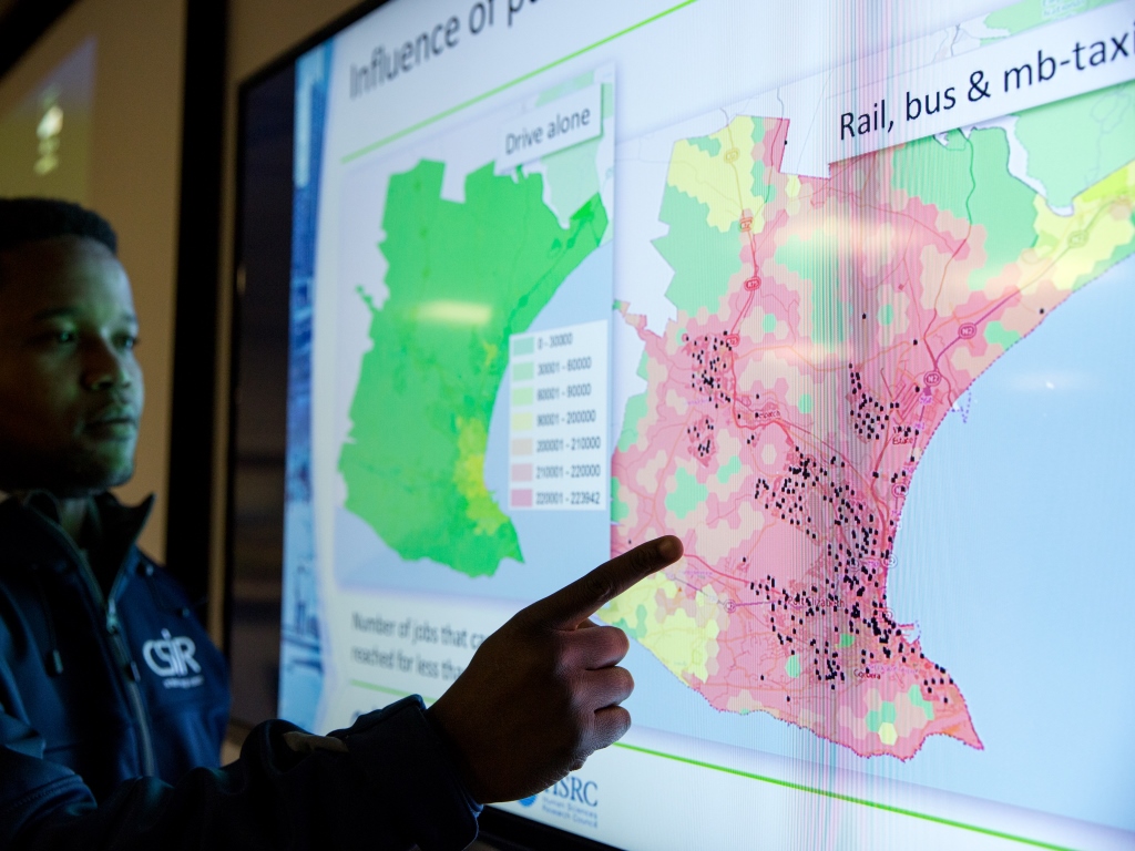
Research and development focuses on planning support and associated systems as it pertains to infrastructure investment. A multidisciplinary group of more than 15 researchers consisting of town and regional planners, Geographic Information Systems professionals, engineers and data scientists combine their skills to do advanced spatial analysis and modelling to provide planning and decision support to a host of government and private sector stakeholders.
Contact person: Gerbrand Mans (Research group leader), Tel: 012 841 2552; Email: gmans@csir.co.za
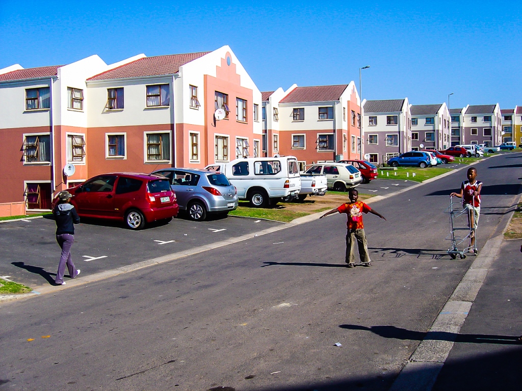
Sustainable human settlements and informatics
The CSIR undertakes applied research in support of the development of liveable, safe, resource-efficient, socially integrated and economically inclusive cities and towns that contribute to the improved quality of life of all residents. Researchers provide evidence-based decision-making support to those involved in the planning, design and management of human settlements. This includes support with policy and strategy analysis and development, practical planning and design guidelines and knowledge exchange. The research team is multidisciplinary with expertise in the fields of architecture, urban planning and design, development planning, geoinformatics, geomorphometry, remote sensing, GIS, computer science, data logistics and crime science, including crime prevention through environmental design.
Contact person: Tinus Kruger; Tel: 012 841 2595; Email: dkruger@csir.co.za
Decision support and systems analysis
CSIR experts in decision support and systems analysis support problem solving and decision-making through the collection, assessment and analysis of scientific data. The CSIR has a successful track record in providing quantitative modelling support on a range of research projects, carried out within a number of different scientific domains. Support provided on projects includes advice on the processes required for collecting scientifically valid data, the assessment and extraction of relevant information from scientific data and the analysis, modelling and forecasting of scientific data to extract conclusions and make decisions.
Contact person: Renee Koen; Tel: 012 841 3045; Email: rkoen@csir.co.za
More information: