What we do
Infrastructure engineering
We focus on developing cost-effective and sustainable infrastructure engineering solutions for roads, rail and ports. Our innovations and interventions support end-to-end logistics to ensure that people and goods reach their destinations efficiently and effectively.
Infrastructure engineering
We focus on developing cost-effective and sustainable infrastructure engineering solutions for roads, rail and ports. Our innovations and interventions support end-to-end logistics, to ensure that people and goods reach their destinations efficiently and effectively.
Infrastructure engineering
We focus on developing cost-effective and sustainable infrastructure engineering solutions for roads, rail and ports. Our innovations and interventions support end-to-end logistics, to ensure that people and goods reach their destinations efficiently and effectively.
Infrastructure engineering
We focus on developing cost-effective and sustainable infrastructure engineering solutions for roads, rail and ports. Our innovations and interventions support end-to-end logistics, to ensure that people and goods reach their destinations efficiently and effectively.
Contact information:
Highlights
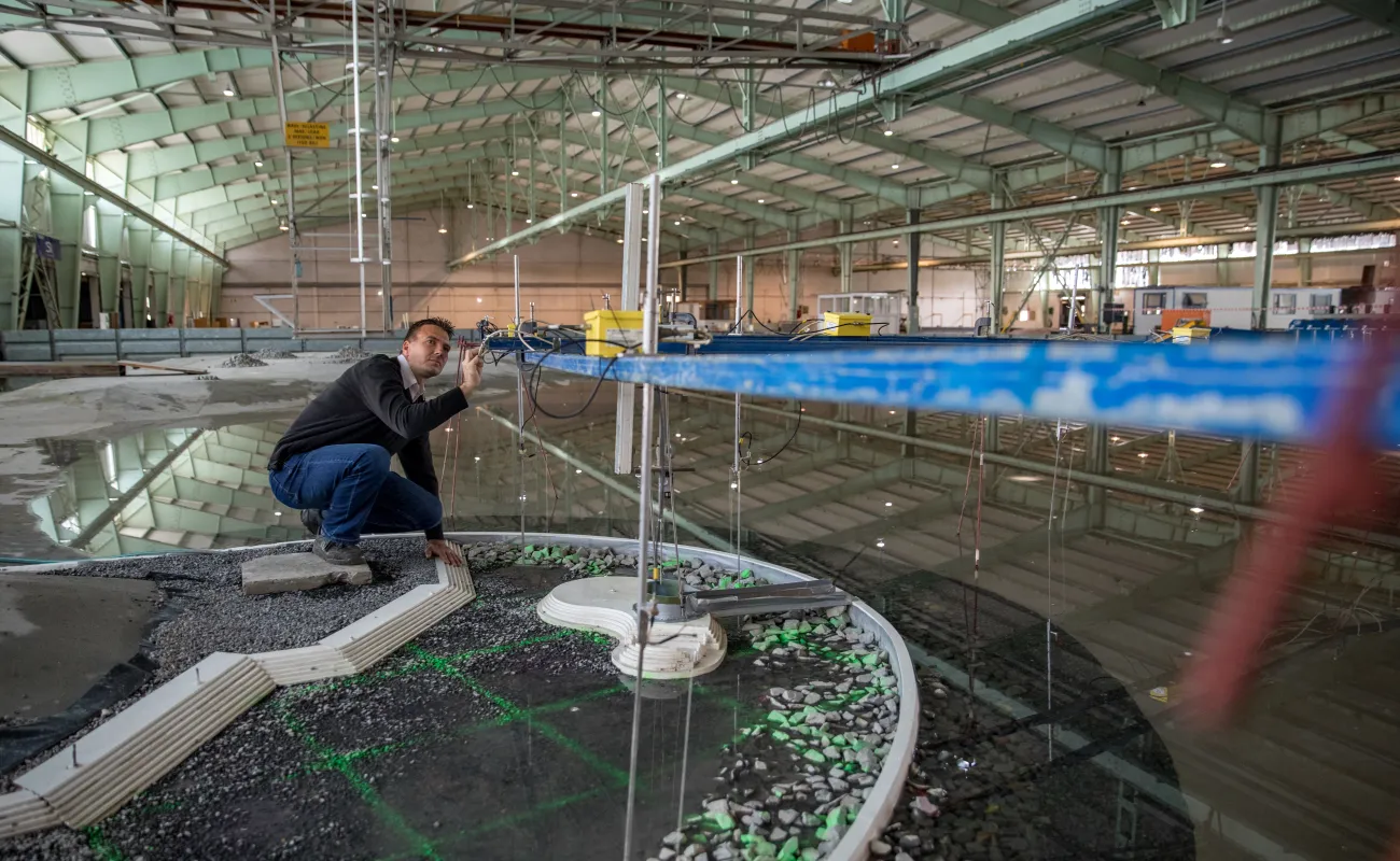
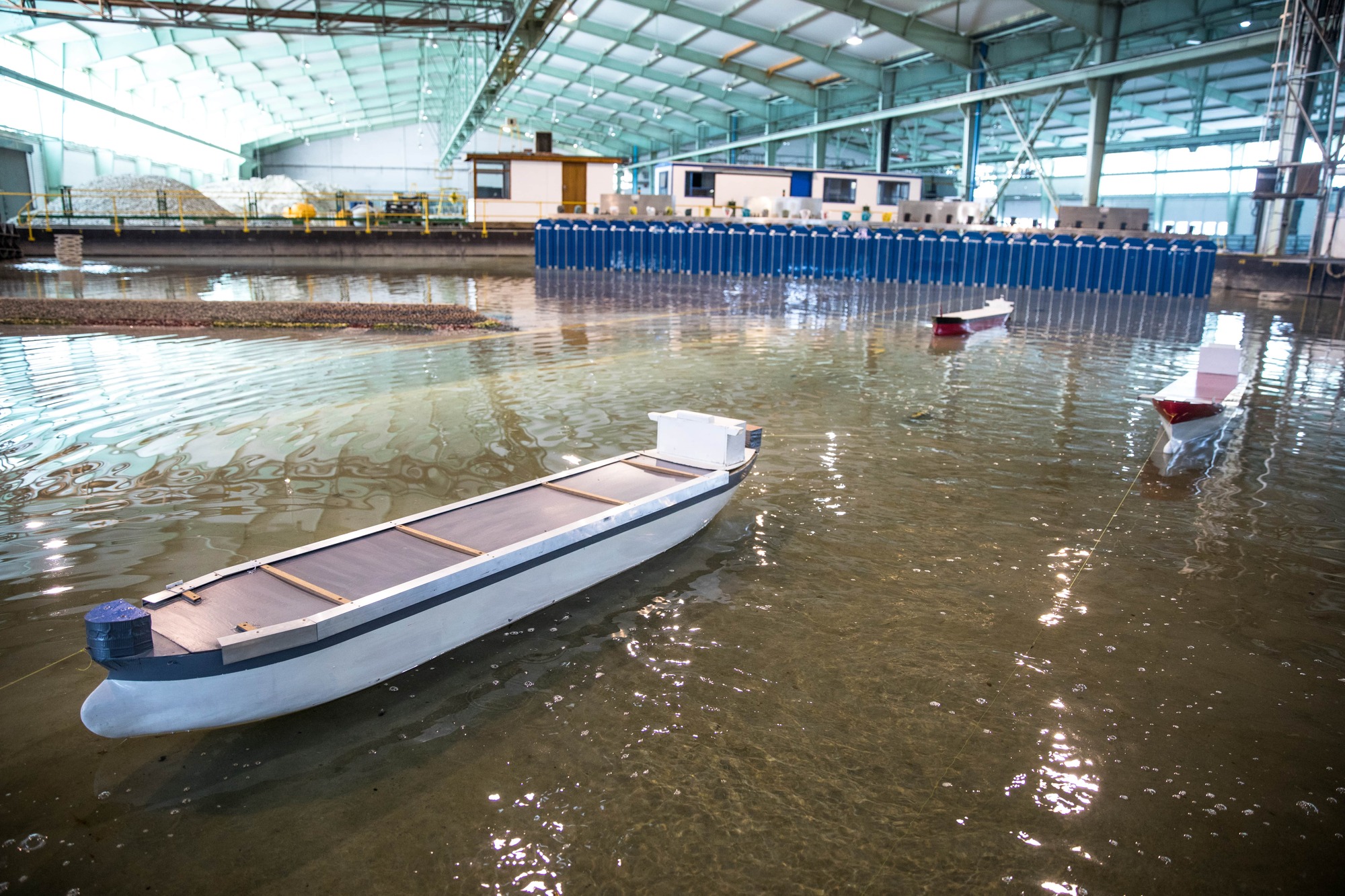
CSIR innovation for smart ports
The CSIR is assisting the maritime sector in operating safe and efficient ports. The team collects data to support decision-making by port authorities, conducts physical modelling to optimise marine structures and undertakes numerical modelling for port layout and ship simulations.
Watch.

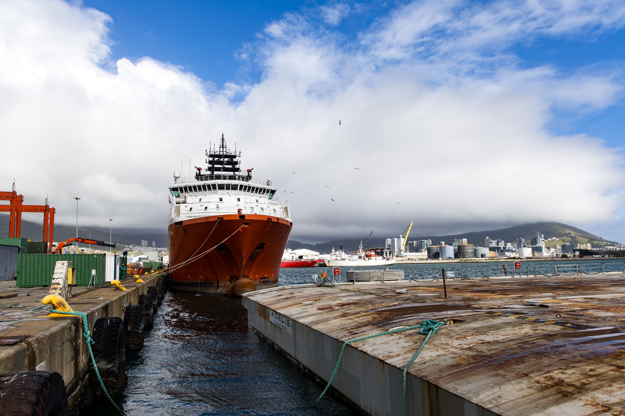
Scientists called in as wind disrupts fruit exports in Cape Town
The CSIR supports Transnet National Port Authority and its clients, including fruit exporters, with short-term and long-term wind predictions. This research will help exporters plan around anticipated wind delays and inform potential changes to the port’s layout and structures to divert disruptive winds. Watch.
News vessel motion forecast tool for ports
A CSIR-developed tool can predict the motion of moored ships in a port under current wave conditions and forecasted wave events, contributing to operational efficiency and port safety. First tested at the Port of Ngqura in South Africa, the tool can be configured for specific ports and integrated into most existing infrastructure. Read more.
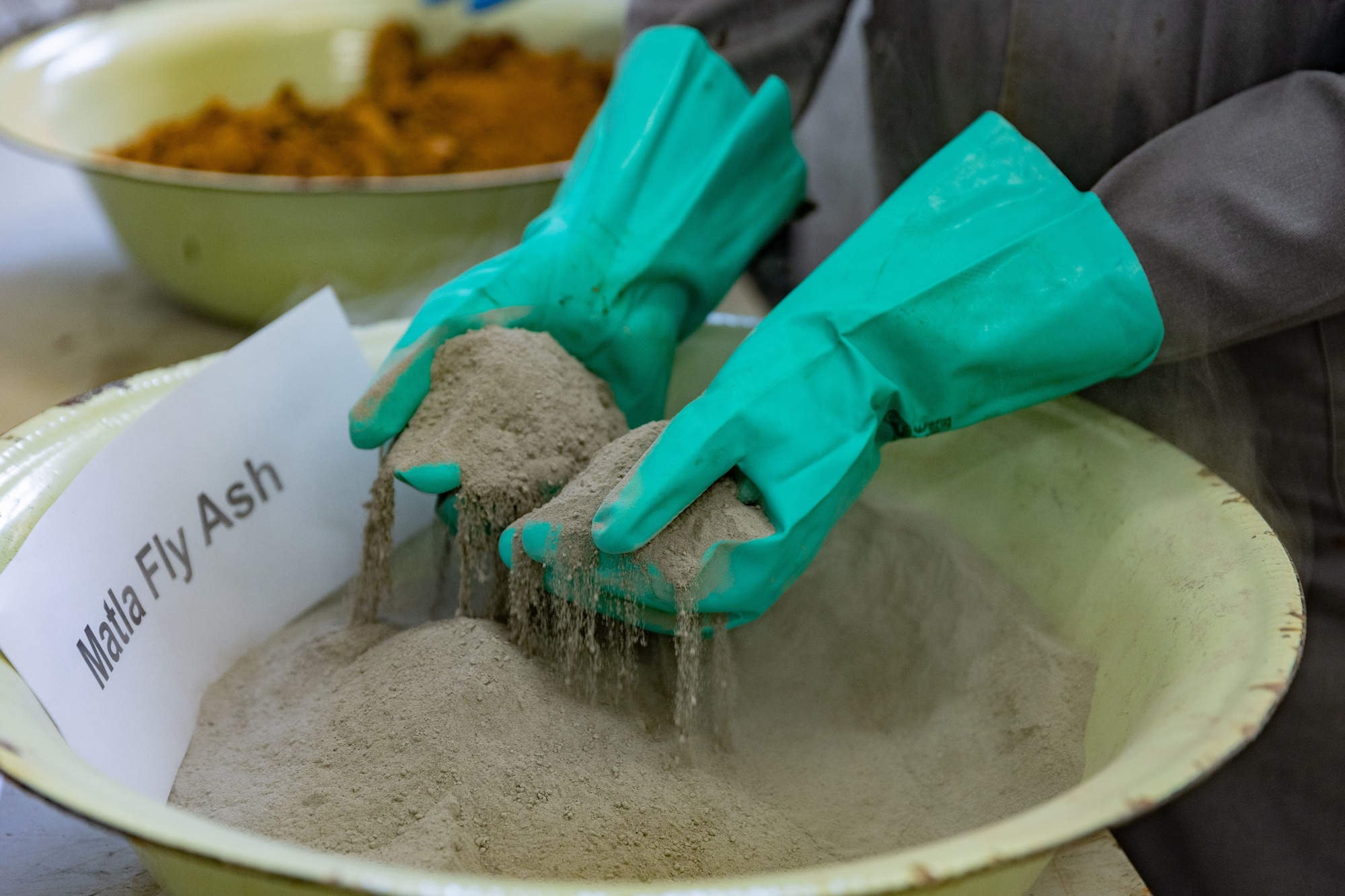
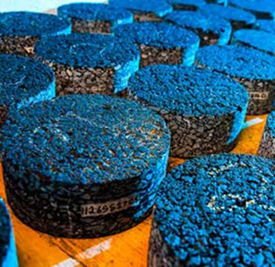
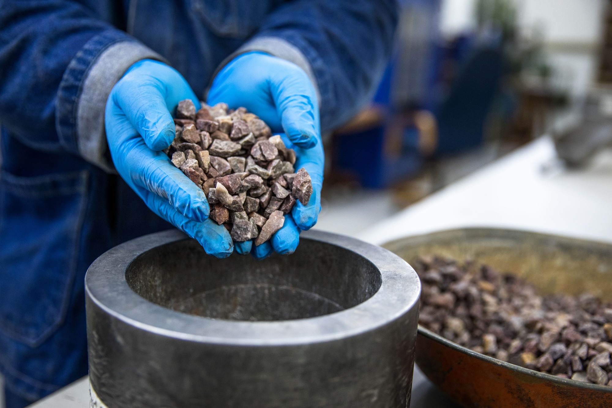
Coal fly ash as an alternative material in road construction
A research study has identified coal fly ash, a waste material from electricity generation, as a potential alternative for road construction. Using fly ash would reduce reliance on virgin construction materials and minimise the environmental impact associated with disposing of these materials in landfills, thereby supporting the principles of the circular economy. Read more.
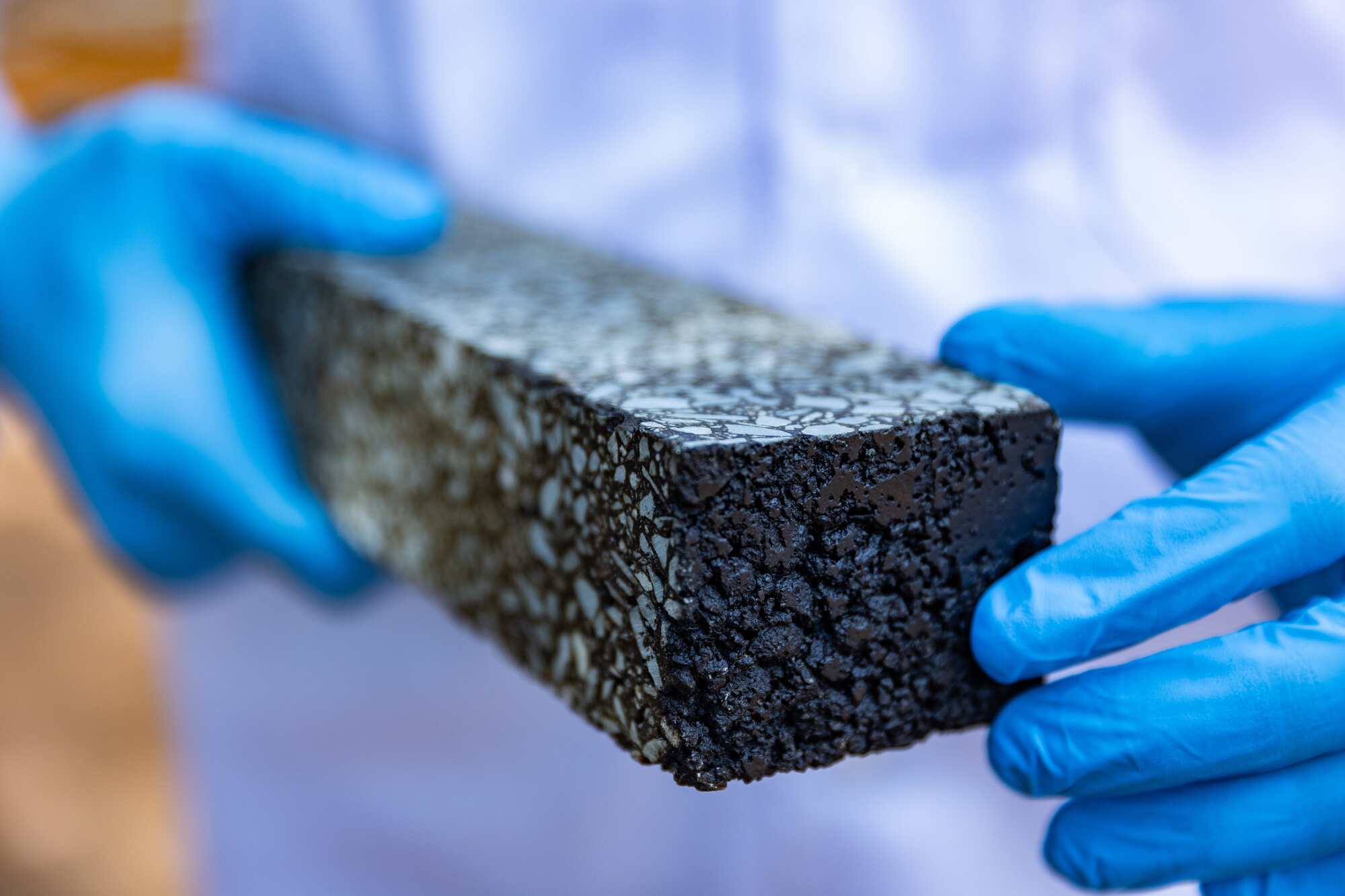
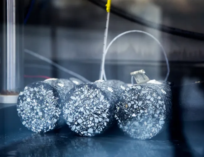
Glassphalt for road construction holds promise as a circular economy innovation
Increasingly, discarded materials are viewed as resources with significant economic value. Glass waste is one such resource that is being investigated internationally for its potential as a road construction material. CSIR researchers are conducting tests that combine crushed glass with hot asphalt mixes for use in pavement infrastructure. Read more.
Our research
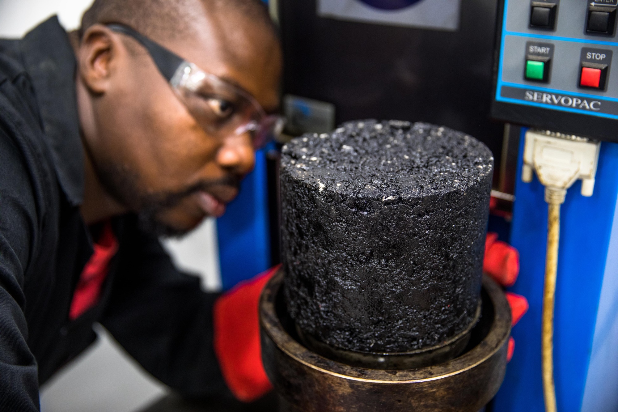
Advanced materials testing laboratories
Go somewhere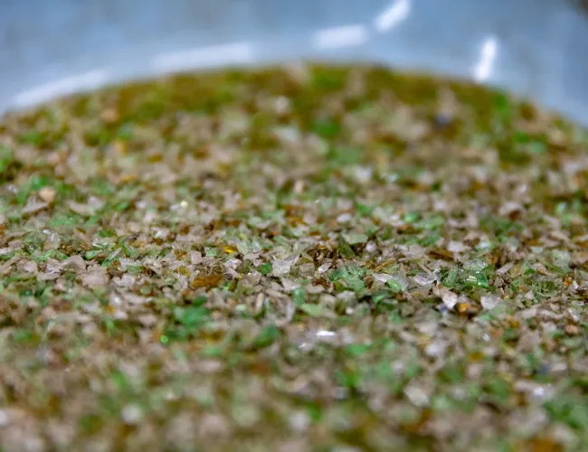
Pavement design and construction
Go somewhere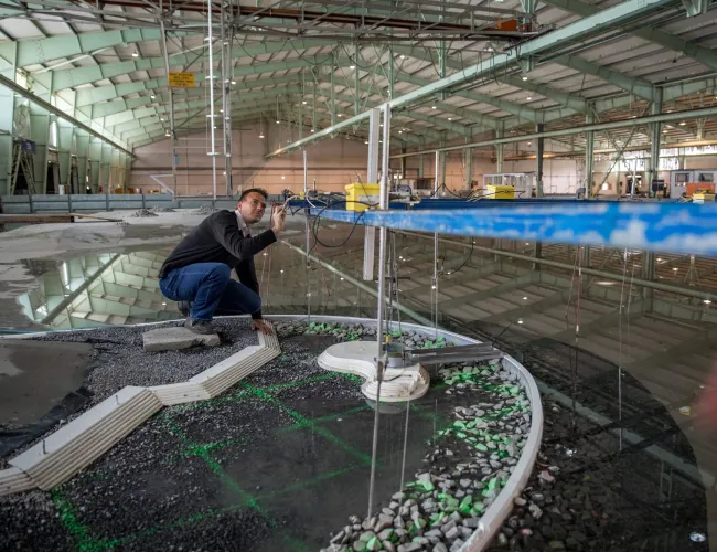
Coastal engineering and port infrastructure
Go somewhereOur facilities