What we do
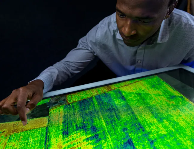
Precision agriculture
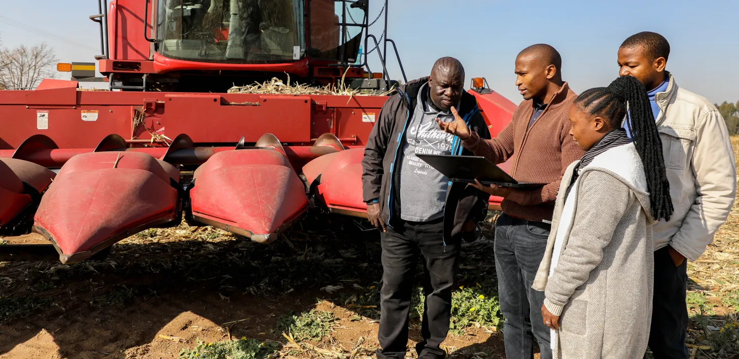
We specialise in digital solutions that enhance crop production and yield. Our precision agriculture information system supports farmers with accurate yield predictions, optimised input costs and effective pest and diseases surveillance.
Precision agriculture
We specialise in digital solutions that enhance crop production and yield. Our precision agriculture information system supports farmers with accurate yield predictions, optimised input costs and effective pest and diseases surveillance.
Precision agriculture
We specialise in digital solutions that enhance crop production and yield. Our precision agriculture information system supports farmers with accurate yield predictions, optimised input costs and effective pest and diseases surveillance.
Precision agriculture
We specialise in digital solutions that enhance crop production and yield. Our precision agriculture information system supports farmers with accurate yield predictions, optimised input costs and effective pest and diseases surveillance.
Contact information:
Highlights

CSIR scientist recognised with prestigious NASA Group Achievement Award for Biodiversity Science
The Council for Scientific and Industrial Research (CSIR) congratulates Professor Moses Cho on being recognised as part of the team awarded the prestigious NASA Group Achievement Award for Excellence in Biodiversity Science. Prof. Cho led one of the 20 thematic research streams under the BioSCape initiative, titled: Hyperspectral Signal Processing for Terrestrial, Aquatic and Atmospheric Applications in South Africa. Read more
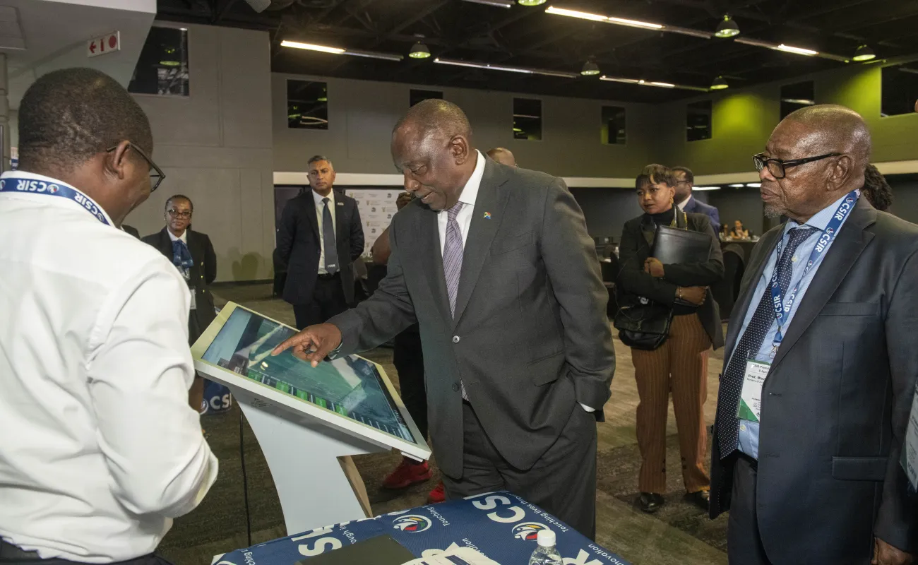
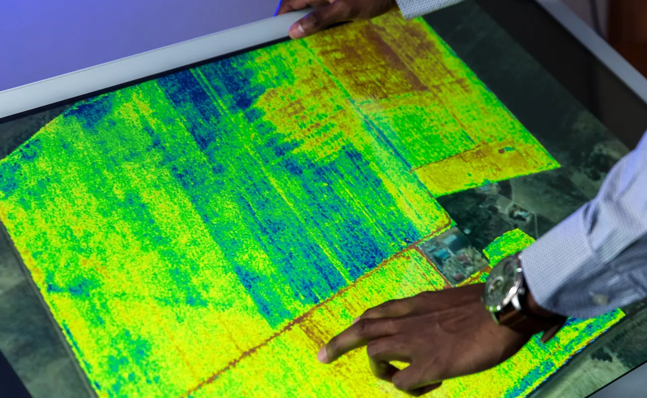
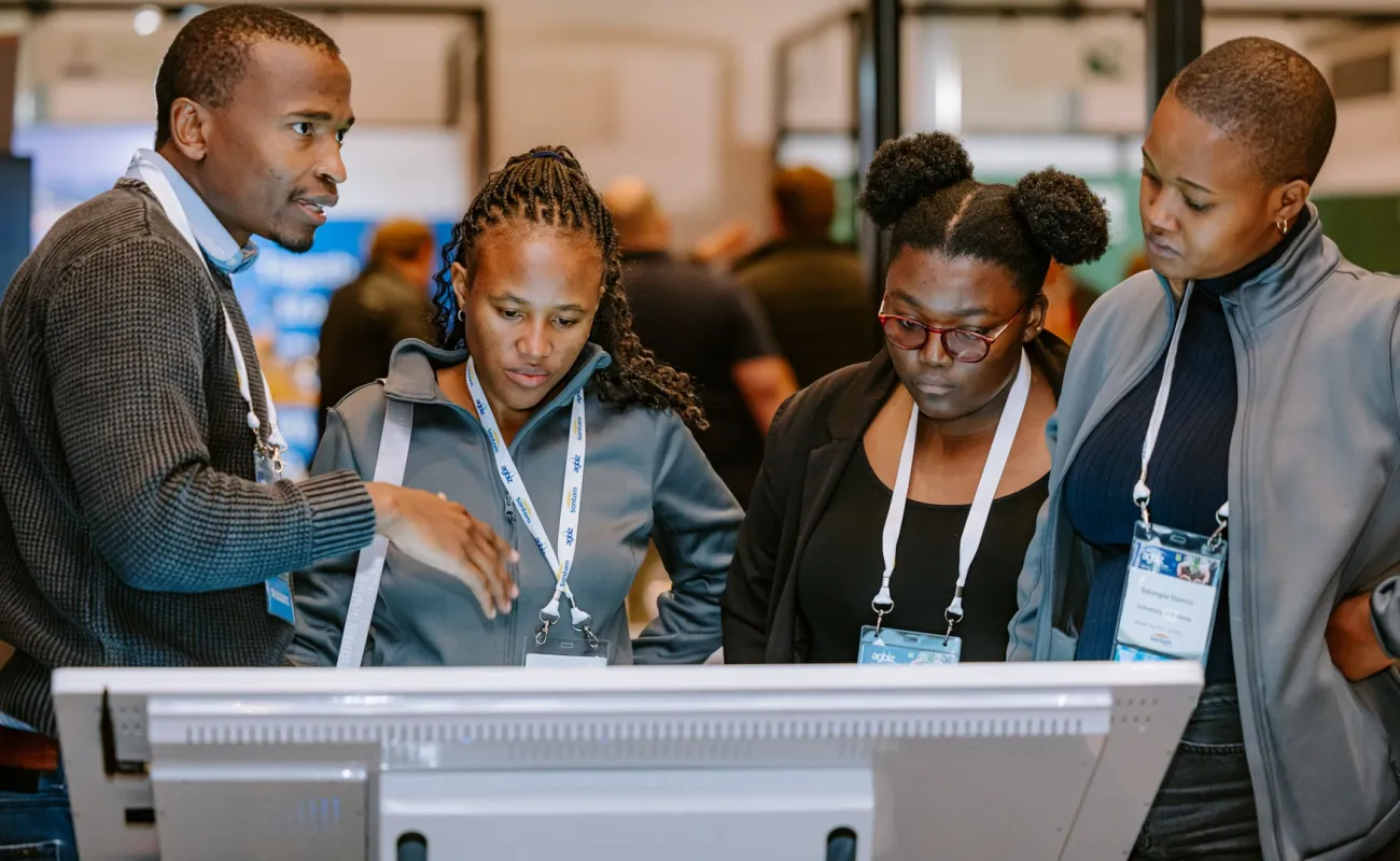
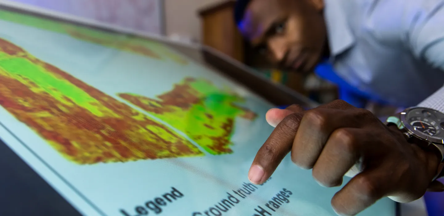
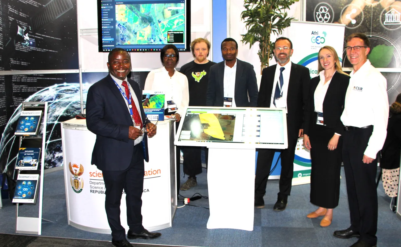
Precision agriculture platform gains ground
The CSIR, in collaboration with the Limpopo Department of Agriculture, South African Grain Association and Eastern Cape Development Corporation, is testing its Precision Agriculture Information System to strengthen precision agriculture adoption in a year-long, multi-province pilot project. The system supports data-driven crop management, equipping users with tools for soil preparation, crop monitoring and yield estimation. It integrates satellite data, artificial intelligence-powered analytics and user-friendly interfaces to support informed, real-time decision-making. The system was demonstrated to President Cyril Ramaphosa during a visit to the CSIR.
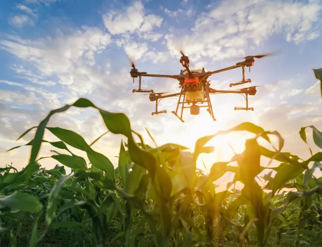
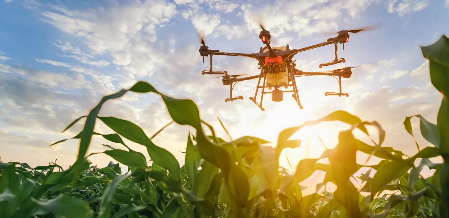
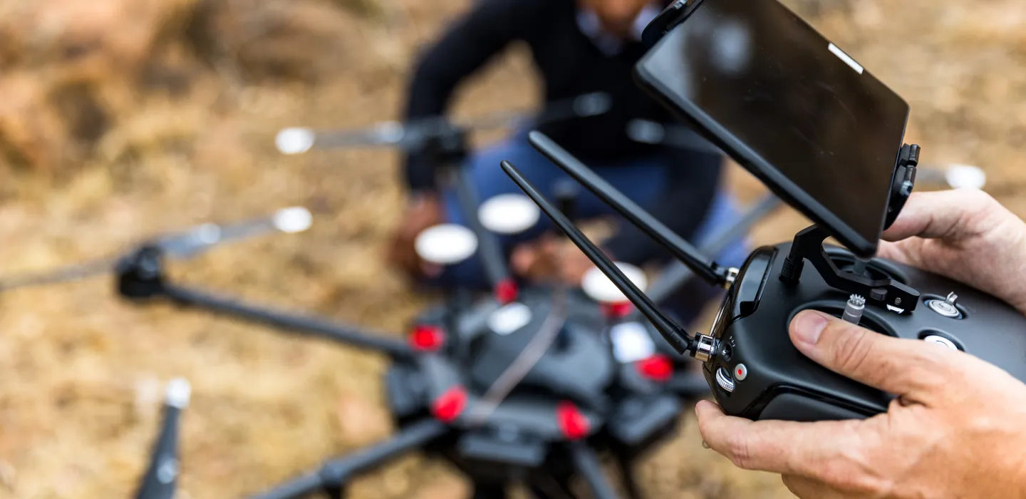
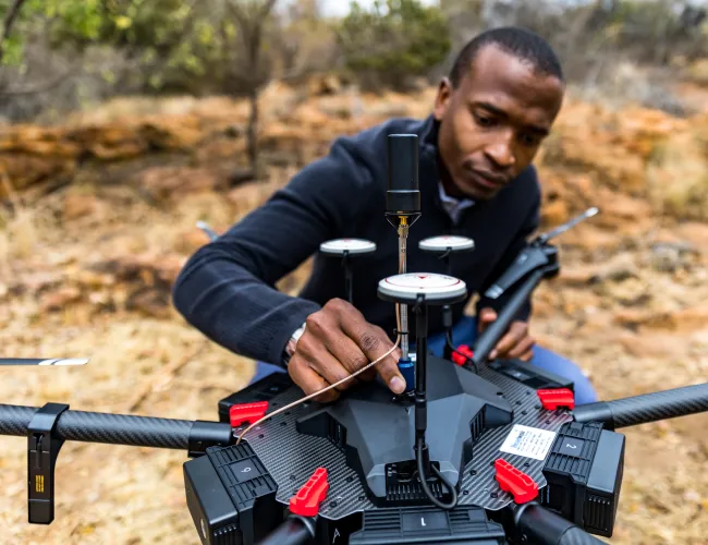
Empowering every farmer – a digital leap
The CSIR, in collaboration with the Department of Science, Technology and Innovation (DSTI) and Agricultural Research Council, is developing a precision agriculture information system that uses drones and other transformative technologies to support farmers with near real-time information to enhance on-farm decision-making. Watch. Following the system’s launch and the completion of the first phase of the project, the DSTI has announced funding for a four-year initiative to digitally transform South African agriculture.
Capabilities
We are building end-to-end capabilities in precision agriculture that integrate data, technology, and specialised expertise to drive smarter, more sustainable farming.
Our facilities