What we do

CSIR Water Research Centre
We provide specialised water-related advisory services and develop technologies and solutions to improve water and wastewater management. Our work focuses on water resource and infrastructure management, ensuring the availability of sufficient high-quality water even amid climate change, environmental pressures and other water-related challenges.
Contact information:
Highlights

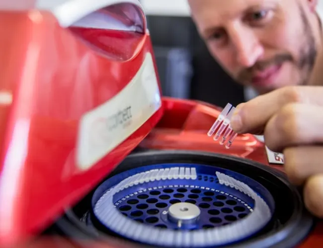
From sewers to signals: CSIR scientists turn wastewater into an early outbreak warning system
Long before patients arrive at clinics, the first signs of an outbreak may already be flowing beneath our cities. Every day, wastewater carries microscopic traces of viruses, bacteria and parasites shed by infected individuals, creating a hidden but powerful stream of public health data. Watch
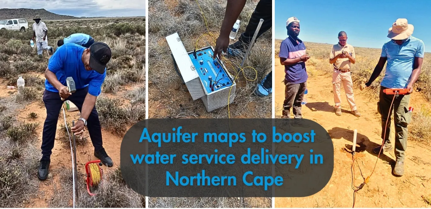
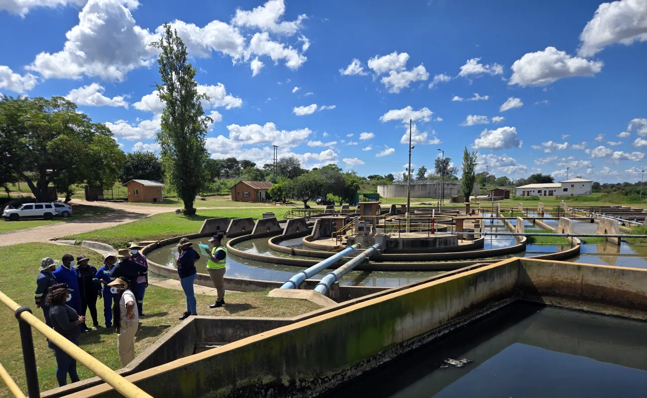
Aquifer maps to boost water service delivery in the Northern Cape
The Northern Cape town of De Aar will become one of the few in South Africa to strategically drill and pump its boreholes using scientific maps of underground aquifers. The CSIR, the University of the Western Cape and the Northern Cape branch of the Department of Water and Sanitation used modern, cost-effective hydrogeophysical methods to map the aquifer systems of De Aar. They pinpointed the location, extent and thickness of groundwater channels and measured the quality of groundwater in terms of acidity, flow, temperature and potential harmful contaminants.
Our research
Smart water resource management
Go somewhere
Smart water and wastewater infrastructure
Go somewhereOur facilities
Resources
Water and wastewater infrastructure brochure
Microbiology brochure