
Digital Solutions and Services
Our work drives digital transformation across government, public institutions and industry. We harness the benefits of digitalisation and fourth industrial revolution technologies to improve quality of life and advance a sustainable digital economy.

Digital Solutions and Services
Our work drives digital transformation across government, public institutions and industry. We harness the benefits of digitalisation and fourth industrial revolution technologies to improve quality of life and advance a sustainable digital economy.
Focus areas
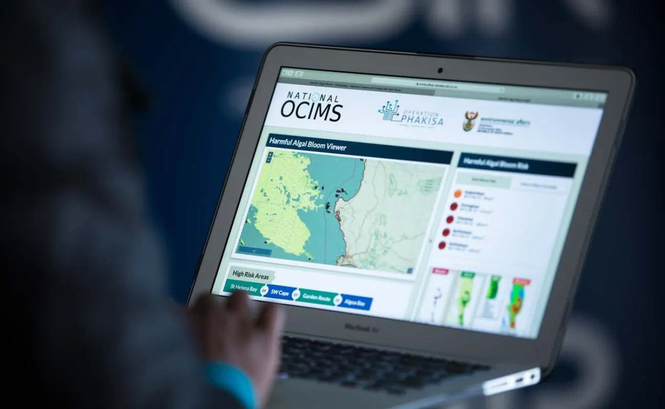
Bespoke software solutions
We deliver bespoke, localised software solutions employing agile, user-centred methodologies. Our solutions support effective governance of southern Africa's oceans and coasts and advances language technology development for under-resourced languages. We apply advanced geospatial, statistical and artificial intelligence-driven models to address critical socioeconomic, health and environmental challenges. We develop early-warning systems for environmental hazards, as well as solutions for election results forecasting and education system resource allocation planning.
View more
Broadband technologies
We conduct research and development on emerging and transformative telecommunications, cloud computing, cyberinfrastructure and next-generation mobile technologies and implement these to ensure accessible, cost-efficient, high-speed and seamless connectivity and intelligent communications solutions.
View more
Cyberinfrastructure
We promote scientific and industrial development by providing high-performance computing, high-speed network capacity and a national research data infrastructure. These are integrated into local and globally connected systems, offering seamless access to South Africa's research and education communities.
View more
Emerging digital technologies
We de-risk investments in emerging digital technologies by conducting research and developing technology building blocks that government and industry can adopt to drive digital disruption, helping local enterprises remain relevant, innovative and competitive.
View more