
Defence and Security
We support the safety of South Africa, its domain and citizens, through home-grown technology innovation for air, land, maritime and cyber defence.
Defence and Security
We support the safety of South Africa, its domain and citizens, through home-grown technology innovation for air, land, maritime and cyber defence.

Defence and Security
We support the safety of South Africa, its domain and citizens, through home-grown technology innovation for air, land, maritime and cyber defence.

Defence and Security
We support the safety of South Africa, its domain and citizens, through home-grown technology innovation for air, land, maritime and cyber defence.
Focus areas
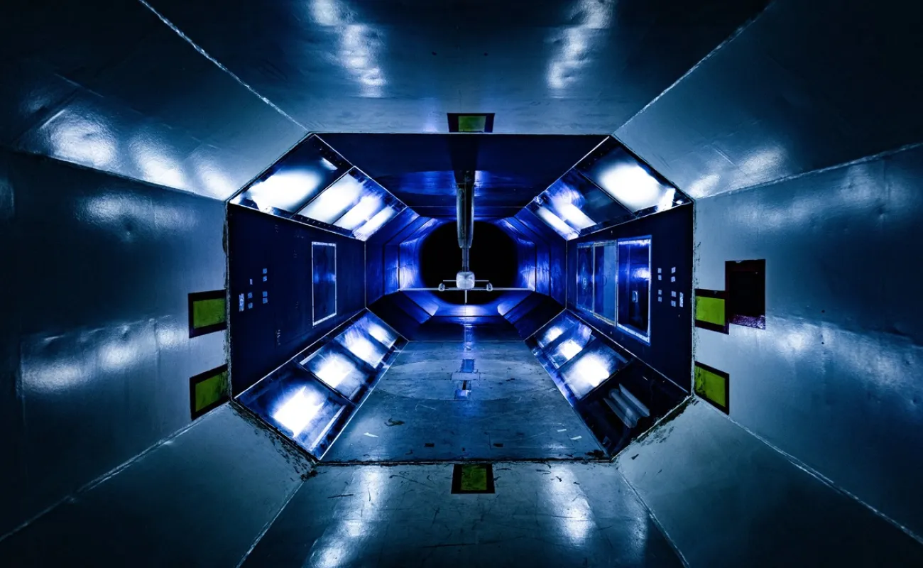
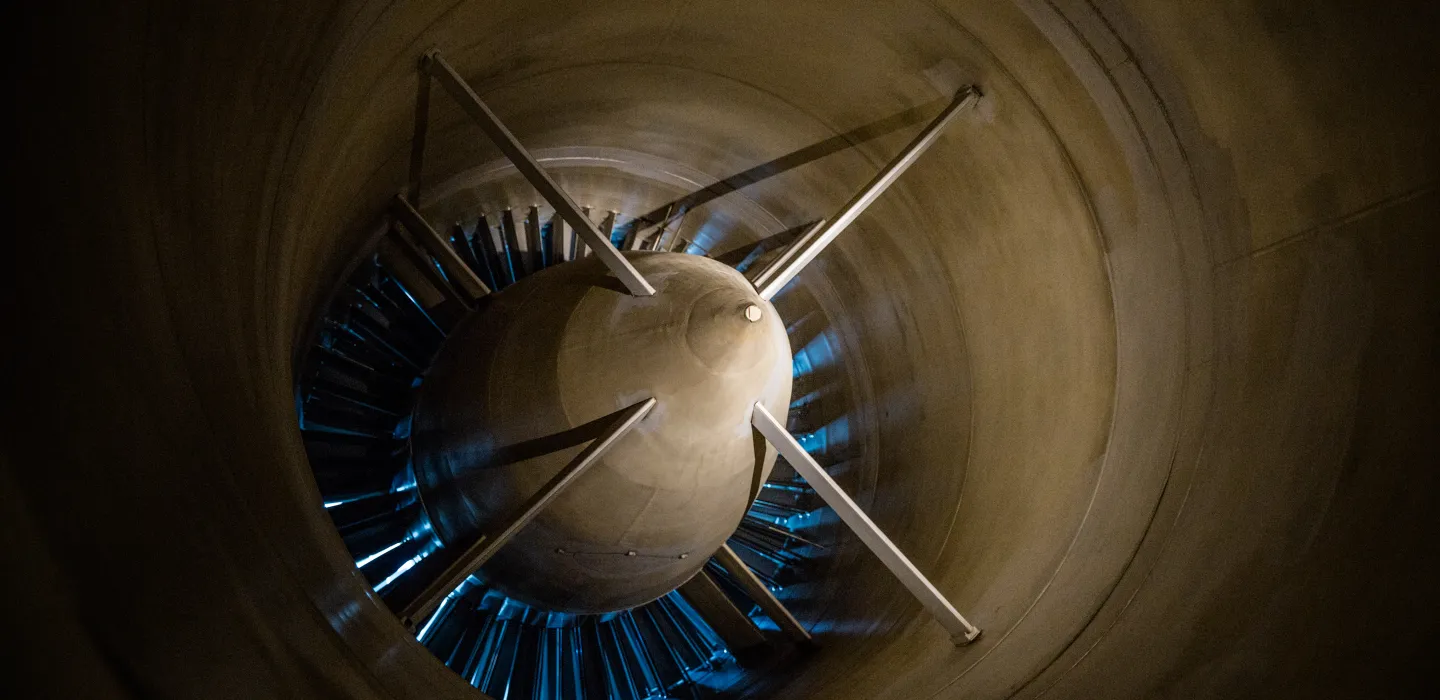
Aerospace
A suite of wind tunnels underpins experimentation and evaluation for local and international aerospace clients, as well as research, development and innovation in aeroelasticity, weapons integration, airframe design and propulsion technologies. It is the only wind tunnel facility in the southern hemisphere.
View more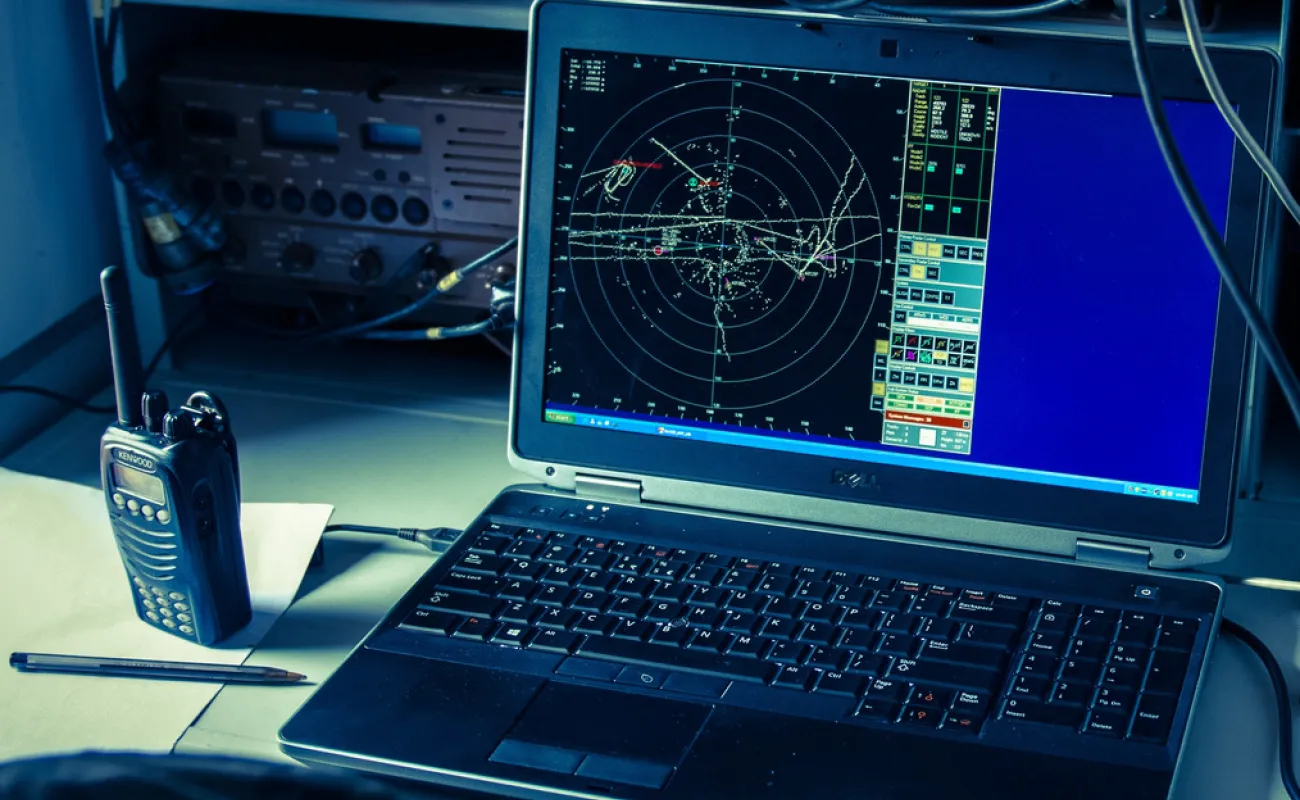
Command and control
We collaborate with multiple agencies and stakeholders to enable shared intelligence, situational awareness and informed decision-making, enhancing interoperability to address specific security scenarios in public or private sectors.
View more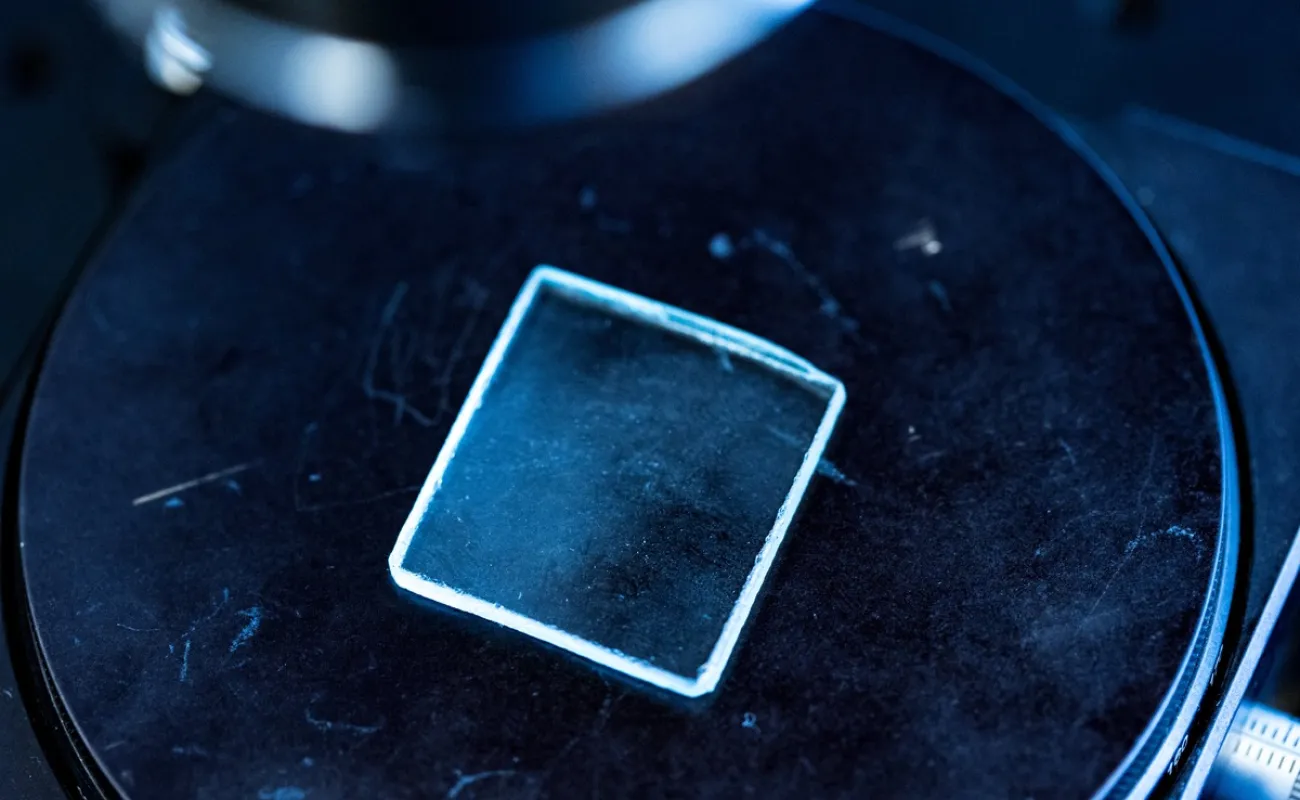
Information and cybersecurity
CSIR specialists conduct research and innovation in home-grown identity management for private and public sector clients to securely identify and protect people and systems – physical and digital – against vulnerabilities, threats and risks in the digital realm.
View more
Integrated security
To address complex threats such as wildlife poaching and to safeguard borders and critical infrastructure, we leverage a range of advanced technologies across multidisciplinary fields.
View more
Landward sciences
Our work enhances the effectiveness and safety of soldiers, police officers and security personnel during operations and deployments. Our key areas of expertise include firepower (such as detonics and explosives), tactical mobility, vehicle and crew survivability and the rapid development of customised operational solutions. We deliver science, engineering and technology solutions, along with testing, measurement and evaluation services that meet local and international standards. In addition, we offer advisory and decision-support services.
View more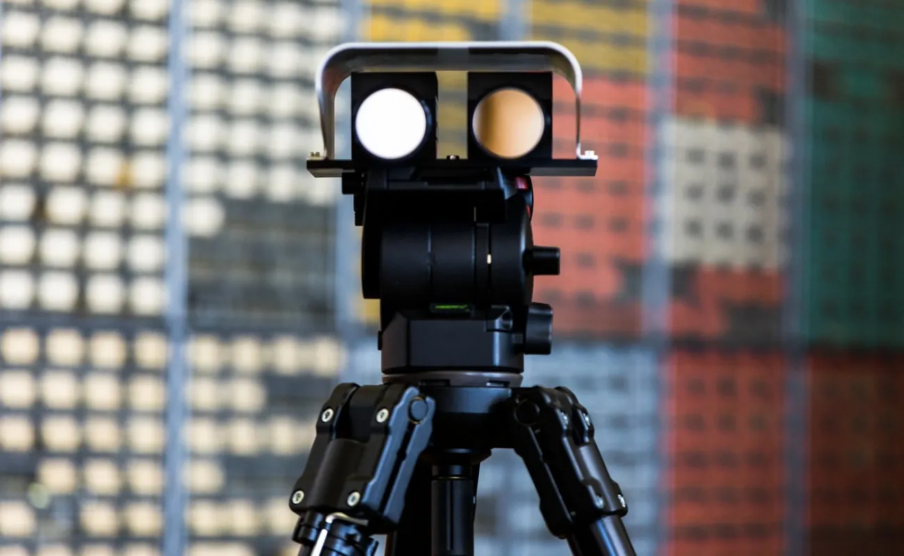
Optronics
We design, develop and evaluate advanced and novel electro-optic sensor systems for day, night and multispectral surveillance. These systems are applied in civilian and defence contexts, as part of countermeasures and electronic warfare in the visual and infrared wavelengths.
View more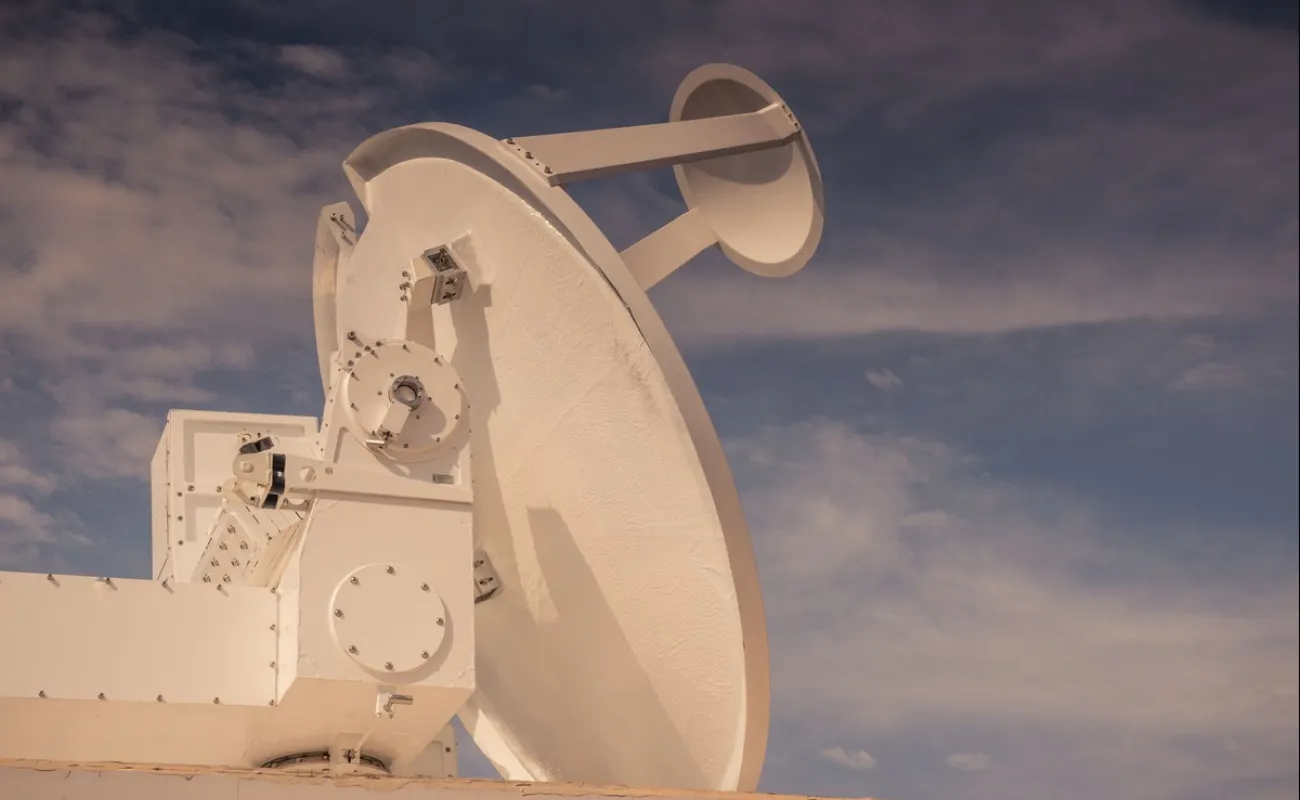
Radar and electronic warfare
The CSIR is a key contributor to South Africa's radar and electronic warfare industry. For decades, local and international clients have relied on our expertise to deliver cutting-edge systems, evaluation and training.
View more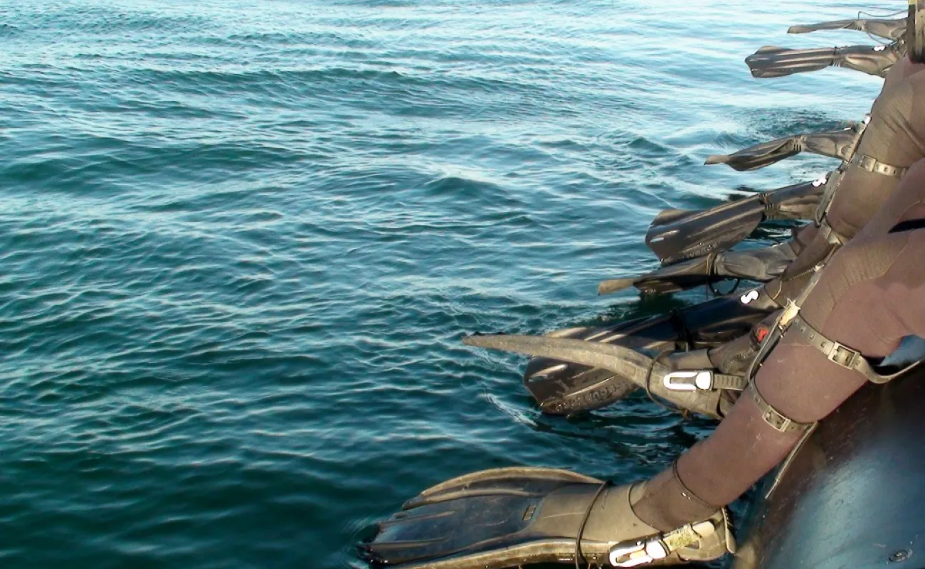
Special operations
We serve as the science, engineering and technology partner of choice for special forces during deployments. This role is enabled by our strategic independence, sound scientific and engineering expertise and comprehensive understanding of the unique challenges these forces face.
View more