Western Indian Ocean partners plan smart coastal warnings after a decade of top Earth observation science
Earth observation experts in South Africa, Madagascar and Mauritius say early-warning tools are needed to manage oil spills, typhoons and coastal flood risks off Africa’s eastern and southern coasts and they are ready to build them.

South Africa plans to lead the effort through the CSIR, building on a nearly decade-long pan-African project that used satellite data to support fisheries, aquaculture, ship traffic monitoring, sea rescue and coral bleaching monitoring in the Western Indian Ocean.
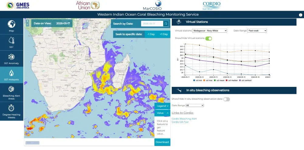
Sives Govender, a leading spatial information systems expert at the CSIR, explains that the CSIR was the technical lead for the Marine and Coastal Science for Management of the Western Indian Ocean (MarCOSIO) project. MarCOSIO was part of the flagship African Union project known as GMES & Africa, which was co-funded by the European Union and officially ended in December 2025. GMES stands for Global Monitoring for Environment and Security.
“MarCOSIO included regional entities, government research centres, universities, non-governmental organisations (NGOs) and the private sector across Angola, Namibia, South Africa, Mozambique, Tanzania, Kenya and small island states like Madagascar, Seychelles and Mauritius,” says Govender.
Dr Marié Smith, a marine Earth observation expert at the CSIR, says the collaboration grew into a practical network for delivering ocean and coastal information services across Southern and Eastern Africa and the island states.
“We are now working on a proposal to build on its legacy with researchers in the Western Indian Ocean region. Our goal is to strengthen our predictive and forecasting capabilities and we will likely focus on natural and anthropogenic threats, such as coastal flooding and inundation, as well as pollution impacts,” she says.
Coastal inundation happens when storm surges or high tides cause seawater to flow onto coastal land that is usually dry, especially in low-lying areas, while pollution impacts may include those caused by oil spills.
Among the ocean-economy countries that participated in the MarCOSIO consortium, Madagascar and Mauritius benefitted greatly from access to satellite information and training that supports sustainable fishing, marine planning and risk awareness along coastlines.
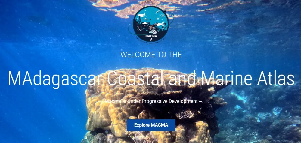
In Madagascar, partners say the collaboration supported the development of the country’s official ocean data platform, MACMAtlas.
“For our team, one of the most important impacts of the GMES and Africa project was the opportunity to strengthen our technical skills in satellite data analysis and environmental monitoring through training and collaborations,” says Dr Aina Le Don Nomenisoa, head of the Madagascar National Oceanographic Data Center.
"GMES and Africa also had a strong impact on young scientists in Madagascar and across the Western Indian Ocean region by supporting Master's and PhD researchers and helping students successfully complete their studies,” he adds. “Beyond the technical aspects, the project created valuable connections between African researchers and institutions working on common environmental challenges.”
In Mauritius, partners point to the value of working with the CSIR team, which not only brings technical depth but also understands the realities of implementation and the practical constraints faced by institutions.
“Training organised under the GMES and Africa project enhanced the capacity of our institute and its staff to use satellite data for coastal and marine resources management and provided a platform for regional collaboration and networking,” says Eric Martial, a systems administrator at the Mauritius Oceanography Institute.
Govender says the CSIR and partners in the countries and island states of the Western Indian Ocean region were invited to submit a project proposal in April 2026 to support Earth observation activities in the oceans and coastal domains, based on the successful implementation of MarCOSIO under GMES and Africa.
If successful, the proposed project, submitted in response to a European Union grant call, could kick off around October 2026 as part of an initiative called Ocean Prediction Enhancement in Regions of Africa (OPERA).
Le Don Nomenisoa says the potential OPERA collaboration with the CSIR will build on the momentum of MarCOSIO and benefit policymakers and young scientists. “Strengthening applications linked to climate resilience, biodiversity conservation and coastal and marine resource management would be especially valuable for countries like Madagascar,” he says.
Martial adds that OPERA is a new opportunity for Mauritius to respond better to natural phenomena impacting its coastlines. “This will be a solid contribution towards securing lives and safeguarding assets," he says.
Govender says the CSIR is well placed to lead the proposed OPERA project and is currently working with Martial, Le Don Nomenisoa and partners in Kenya on how best to tackle storm-surge and coastal flood-risk forecasting and monitoring with the latest Earth Observation based scientific methods.
As they did with MarCOSIO, he says the proposed consortium will draw on approaches developed for OCIMS, South Africa’s National Oceans and Coastal Information Management System. This system turns Earth observation, ocean models and marine spatial data into practical tools for fisheries and aquaculture support, water-quality monitoring, vessel tracking, marine spatial planning and coastal flood-risk scenario planning.
Govender and Smith say the CSIR also actively supports Africa’s blue economy through other scientific approaches to marine and coastal decision-making.
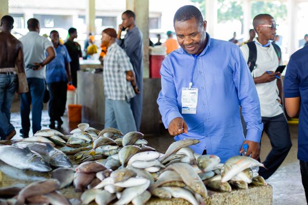
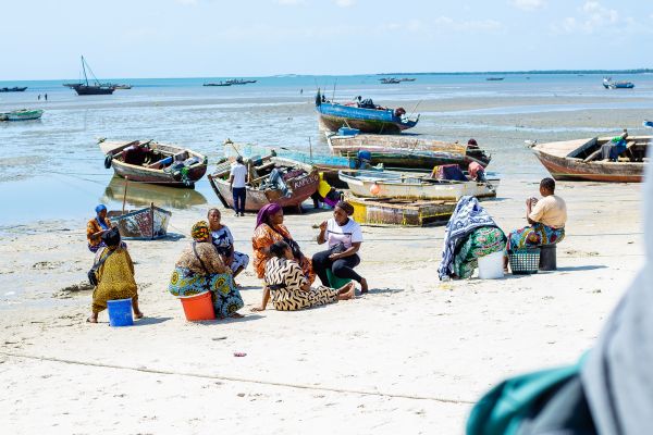
Dr Kassim Mhina, Executive Secretary of Umoja Fisheries Association (left), pictured at the Bagamoyo fishing community in Dar es Salaam, Tanzania (right). Satellite and modelling data are key to developing services that support sustainable fisheries in Africa.
Using Earth observation data, including Copernicus satellite information, CSIR researchers and partners monitor ocean conditions, marine ecosystems and coastal change and turn that data into services that support sustainable fisheries, aquaculture, marine spatial planning, environmental monitoring and climate resilience.
In line with the African Union’s Agenda 2063, this work helps countries across the continent make better decisions about how to manage ocean resources while protecting the ecosystems and coastal communities that depend on them.
More information on https://www.csir.co.za/what-we-do/natural-environment/sustainable-ecosystems/coastal-systems-and-earth-observation
Read more about the CSIR's footprint in Africa in our Allies in Africa story selection, in celebration of Africa Day 2026
Published 26 May 2026